Maps flatten the world into neat shapes, but when you actually step into certain landscapes, the scale can feel almost unreal. A place that looks modest on a map suddenly stretches for days of travel, horizons run uninterrupted, and distances start to play tricks on your sense of space. What this really means is that geography on paper rarely prepares you for the physical experience of standing inside it.
You notice it when the road keeps going, the terrain barely changes, and the sky seems wider than expected. In these locations, landmarks disappear, and scale becomes difficult to grasp. When you visit them, the map stops being a guide and starts feeling like a dramatic understatement.
1. Greenland
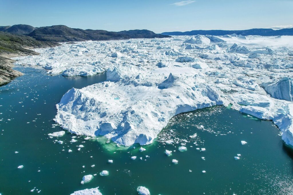
You might glance at a world map and assume Greenland is just another large island. The moment you explore it, that assumption disappears. Greenland stretches roughly 2.16 million square kilometers, making it the world’s largest island. Vast ice sheets dominate most of the land, and travel between settlements often requires planes or boats rather than roads.
Standing on the ice sheet feels like standing on another planet. According to data from NASA, the Greenland Ice Sheet covers about 80 percent of the island and holds enough ice to raise global sea levels significantly. When you look across the frozen surface, the horizon feels endless. The map shows size, but it cannot capture the overwhelming emptiness you feel when you are actually there.
2. Alaska
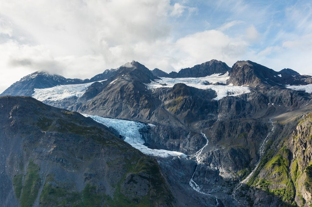
On a standard U.S. map, Alaska often appears tucked into a corner as an inset box. That small graphic hides the fact that Alaska is enormous. The state covers more than 1.7 million square kilometers, larger than Texas, California, and Montana combined.
When you travel through Alaska, distances quickly become real. Driving between towns can take hours while mountains, forests, and glaciers stretch in every direction. The U.S. Geological Survey notes that Alaska also contains more than half of the nation’s glaciers. When you stand near ranges like the Alaska Range or fly over remote wilderness, you realize the map’s tiny corner representation barely hints at the scale surrounding you.
3. Sahara Desert
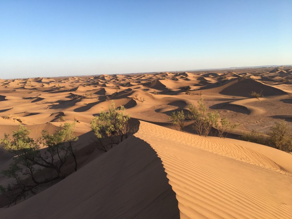
The Sahara might look like a wide tan patch across North Africa on a map, but its scale becomes astonishing once you enter it. Covering around 9.2 million square kilometers, it is the largest hot desert on Earth.
You might expect endless sand dunes, yet the landscape constantly shifts between rocky plateaus, mountains, and vast sand seas. Research from the National Oceanic and Atmospheric Administration highlights how the desert stretches across more than ten countries. When you travel through it, distances between settlements can feel almost immeasurable. The map outlines the desert clearly, but the experience of crossing it makes that outline feel wildly inadequate.
4. Amazon Rainforest
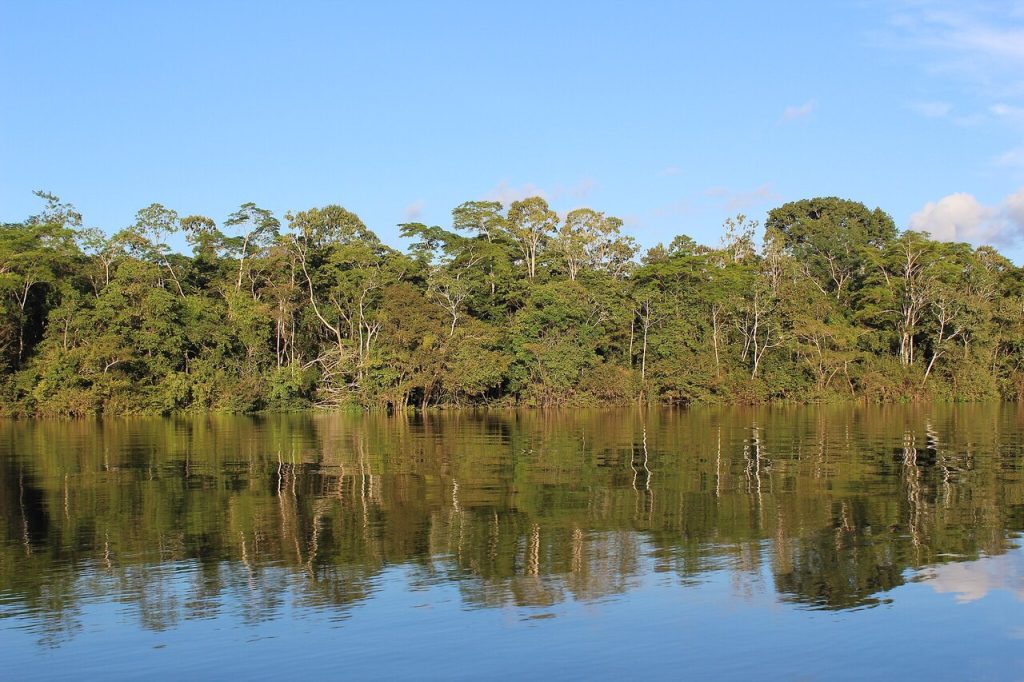
On a map, the Amazon appears as a large green area across northern South America. Step into it and you quickly realize it is less a forest and more an entire world of ecosystems.
The rainforest spans about 5.5 million square kilometers and stretches across nine countries. According to the World Wildlife Fund, the Amazon contains about 10 percent of the planet’s known biodiversity. When you travel along its rivers or fly over its canopy, the forest seems endless. Trees fill the horizon in every direction, and the sheer density of life makes the map’s green patch feel like a massive understatement.
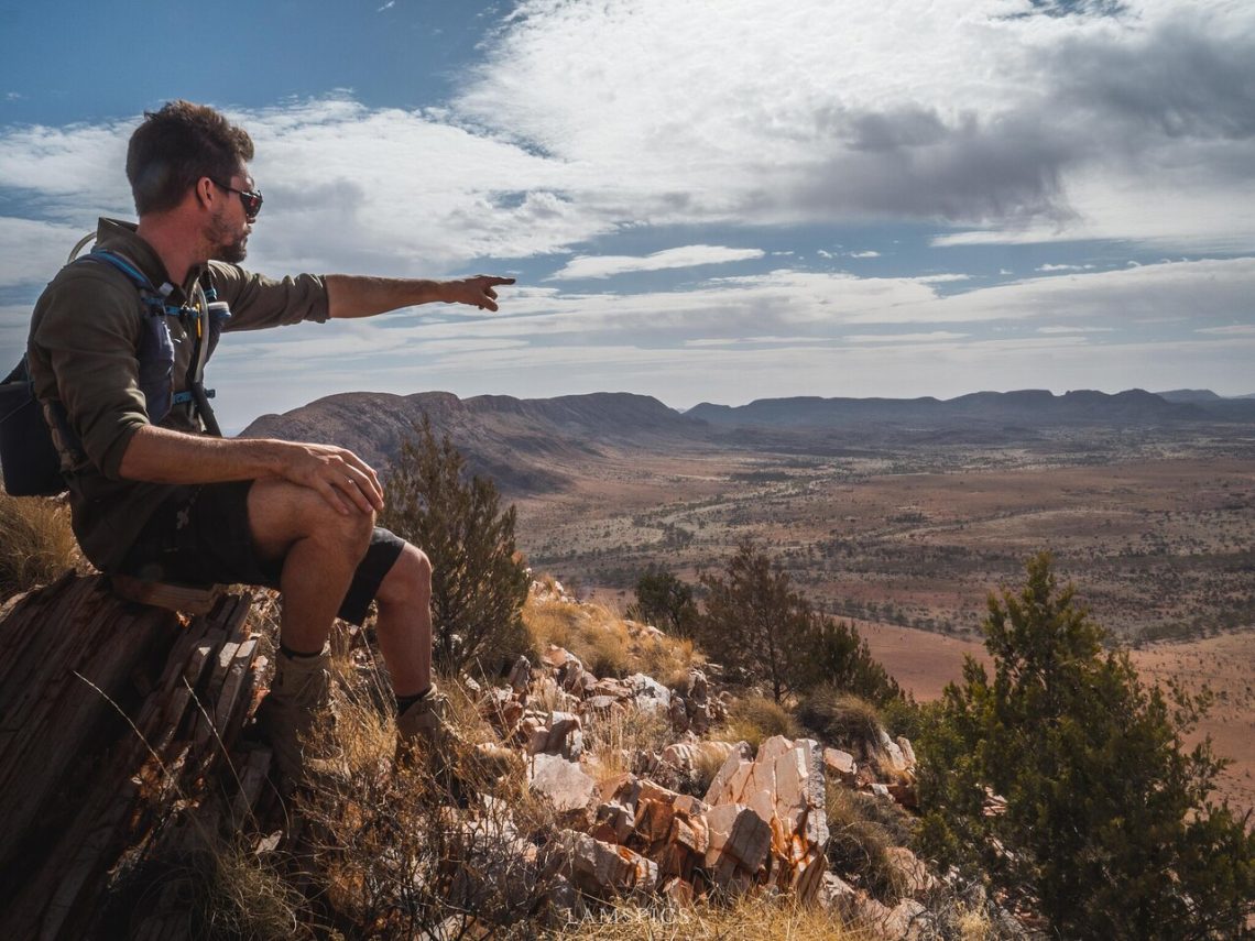
5. Australian Outback
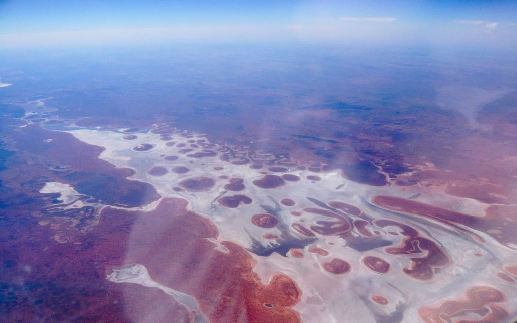
The Outback is often shown as the empty interior of Australia, but that empty space hides enormous distances. It covers most of the continent and includes deserts, grasslands, and remote mountain ranges.
Driving through the Outback can mean hundreds of kilometers between towns. The Australian government notes that many communities rely on small airstrips because road travel takes so long. When you stand beneath the huge sky and watch the land stretch flat toward the horizon, you begin to understand why explorers once underestimated the continent’s interior. The map shows open space, yet the reality feels far larger.
6. Tibetan Plateau
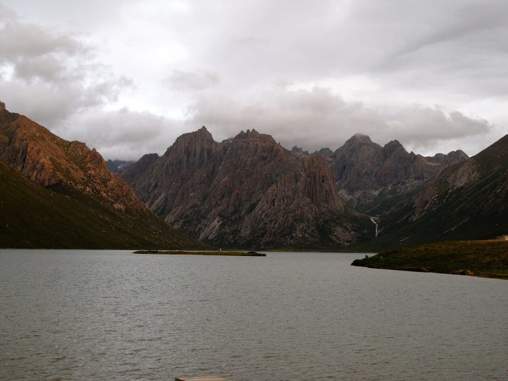
The Tibetan Plateau looks like a broad elevated region on maps of Asia. In reality, it is often called the “Roof of the World” for good reason.
Covering about 2.5 million square kilometers, it is the highest and largest plateau on Earth. Studies from the Chinese Academy of Sciences describe how the plateau influences climate systems across Asia. When you stand on its windswept plains surrounded by distant mountains, the altitude and openness amplify the feeling of scale. The landscape appears to continue forever, making the plateau feel far larger than the map suggests. Many of Asia’s major rivers, including the Yangtze and Mekong, also originate here.
7. Pacific Ocean
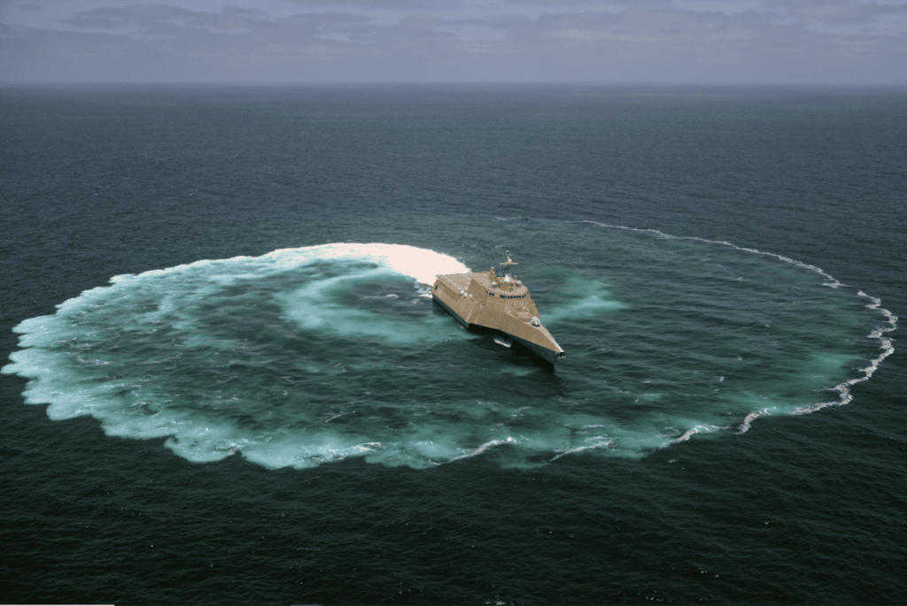
Even the largest world maps struggle to convey the size of the Pacific Ocean. It covers more than 63 million square miles, making it larger than all the world’s continents combined.
When you cross it by ship or plane, the scale becomes obvious. Flights between islands can take many hours, and some remote archipelagos sit thousands of kilometers from the nearest continent. According to NOAA, the Pacific also contains the deepest known point on Earth, the Mariana Trench. Looking at the map, the ocean appears vast. Experiencing it firsthand makes that vastness feel almost impossible to comprehend.